March 22
Location:
Started at the White Pine parking ascending Red Pine to the ridge. Descended to the lake and continued down reversing the up track.
Weather:
It was overcast to foggy the majority of the day. Winds in the 10-15mph along the ridge. Moderate temperatures. There was an instability shower in the afternoon.
Snow;
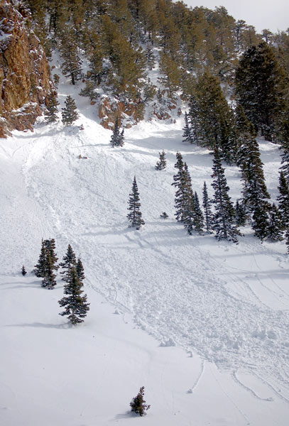
Snow has settled to a dense foot or so. There was another shallow slab and sluff event from yesterday’s snow. There was also a wet slide cycle yesterday afternoon. Thes slides, both wet and dry were confined to upper snow layering, primarily, yesterday’s snow. No activity was no0ted today, however winds had moved enough snow near the ridge to require trenching to achieve the ridge and a couple of surface fractures were triggered. Those were a coupla inches deep, no propagation. Cloud cover and cool temperatures prevented wet activity in Red Pine. A south facing gully or two may have received enough sun to spit up in new snow.
Red Pine west facing. Wet activity from March 21
Bottom Line:
The snow did not become damp and sticky at 10’000’. Hazard would be limited to wet activity from daytime heating and possible shallow dry snow slides in wind affected terrain, especially at upper elevations.
March 23
Location:
Started at the S curve, ascending Broads Fork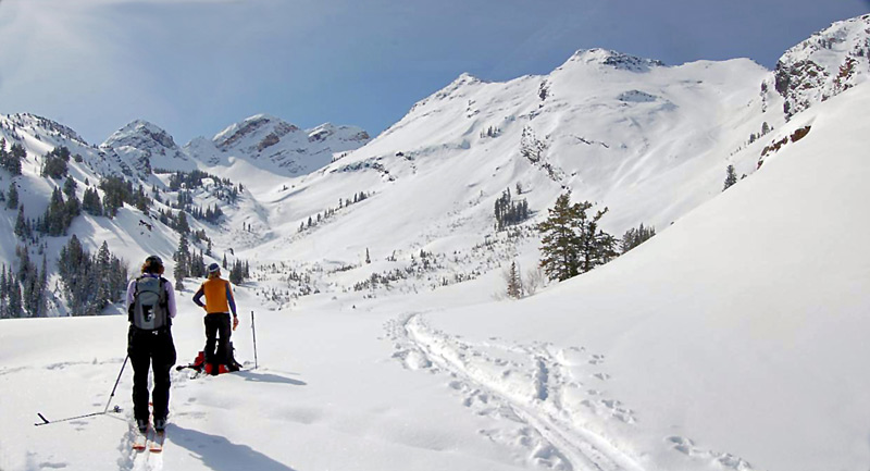
to the shoulder of Dromedary.
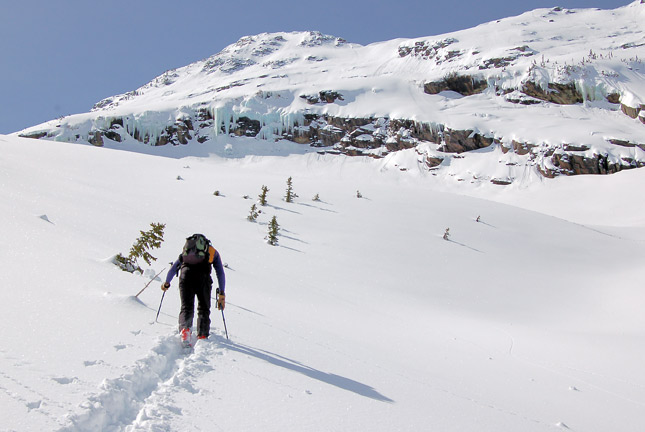
Descended the northeast facing
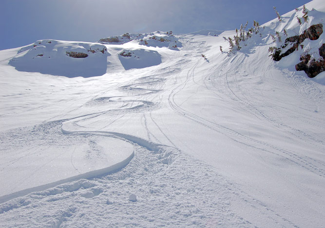
into
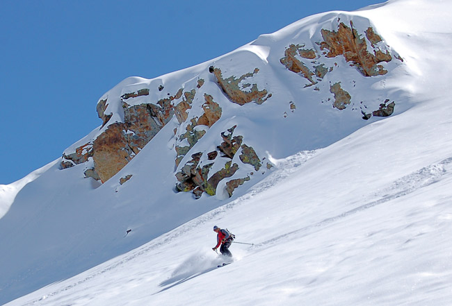
Mill B South.

Ascended the north facing to the ridge
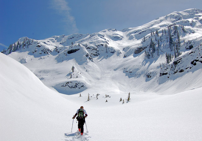
overlooking Tanners.
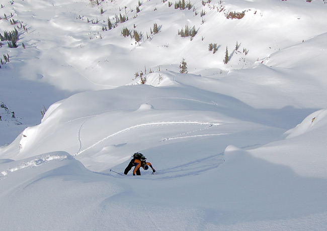
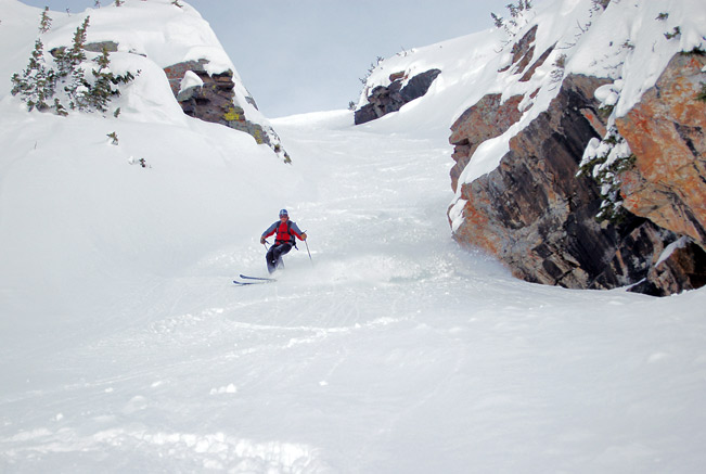
Descended the north facing gully
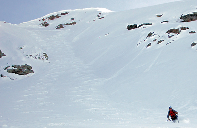
and continued down and out to the S curve.
Weather:
The day started out with cool temperatures warming as the day progressed. Winds were light.
Snow:
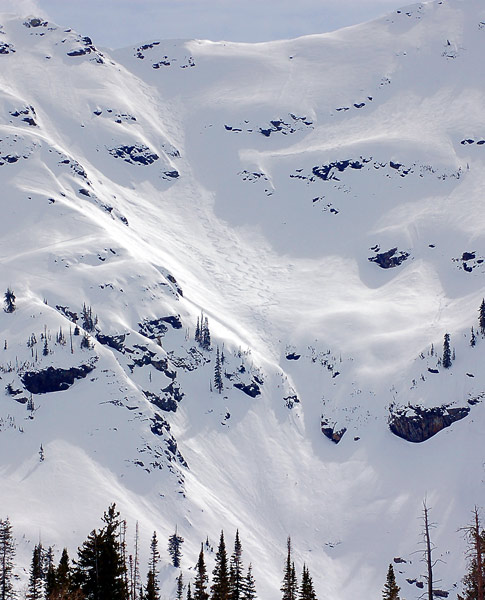
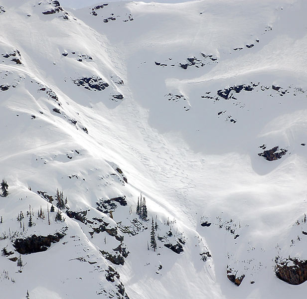
A cool night with clear skies dried the snow, with some dry recrystalized at the upper elevations. Daytime heating started producing wet activity by noon on the easterly aspects but it didn’t seem widespread and was limited to point releases. By afternoon west facing activated and slides were widespread under the rock bands in the east side of Mill B. We could both see and hear some good-sized slides throughout the afternoon.
There was also a widespread though shallow soft slab cycle in both Broads and Mill B South during the Tuesday storm.
Bottom Line:
Snow is stable in the morning and becomes increasingly unstable as the day progresses and snow heats up. Hazard would be dependent on over night freeze, humidity, and the amount of cloud coverMarch 25
Location:
Started at the Alta guard station ascending to Cardiff pass, continuing west to the keyhole, descending into main Cardiff. Ascended into Cardiac bowl exiting through Cardiac pass into Mill B South. Descended traversing west and continuing down past the lakes and out Mill B.
Weather:
It was mostly sunny with some high clouds. Mild temperatures.
Winds were gusting along the ridges but only in the 15-25 mph range, light off the ridges.
Snow:
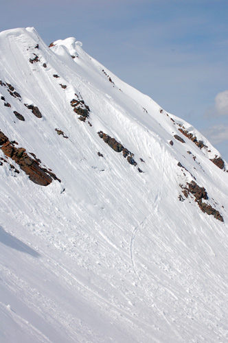
Clear skies overnight keep the snow cool promoting a refreeze on the sunny along with the recrytalized on the shady. Dry creamy powder and wind buff in upper elevations with softening of crusts on the off aspects. Mid and lower elevations were damp, grabby in places.
Bottom Line:
Snow is mostly stable with heating the main concern of the day. Wet activity was not observed, but possible from human triggered. Winds had not moved enough snow to raise the hazard. There could be active wind drifting in areas receiving more wind effect.
Bonding of new snow would be dependent on cooling temps or not.